


Only $4.25 CAD per acre
Buy Rock Map Acres at the Lowest Price of the Season
Prepurchase acres now and use them on your stone mapping throughout the year.
*Pricing valid through 9/30/26.
Traditional scouting is costing you.
Find 3x the Stones &
Pick 3x Faster
- Pinpoint Rock Locations in Your Fields
- Optimize Field Travel
- Prevent Expensive Equipment Damage

Stop scouting. Start targeting.
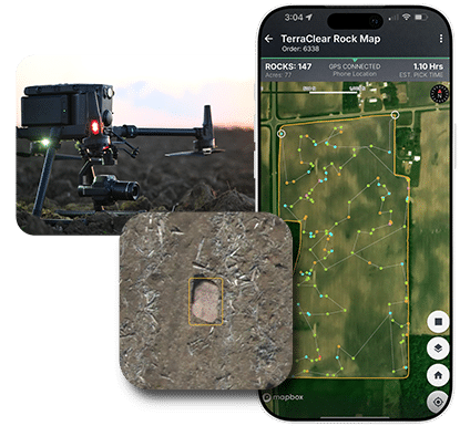
TerraClear delivers high resolution, digital mapping that allows you to know where the stones are and pick with confidence.
How it works
Three steps to a field-ready plan.

Pre-Buy Mapping Acres
Commit to acres now at the lowest price of the season, $4.25/acre*, well below standard per-flight pricing.
*Pricing valid through 9/30/26.

Schedule Your Mapping
Schedule mapping when your window opens. TerraClear’s Rock Map identifies 8″+ stones in your farm fields.

Plans Go to
Your Cab
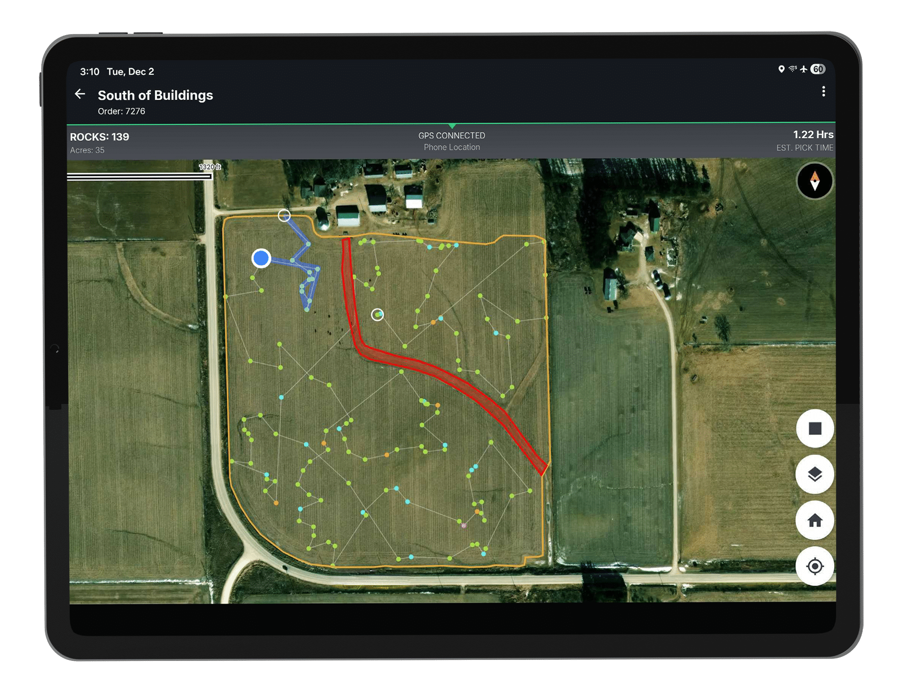
On average, you’ll have your field plan the next day. Your picker has an optimal route. You have the confidence that the job is done effective.
Using your mapping acres
Bank acres now.
Map when you are ready.

Pick stones 3x faster
& find 3x more stones.
Map 8″+ stone hazards before you pick in Spring, post-planting or post-harvest. Your picker gets a route, not a guess.

Acre credits cover all map types.
Bank acres now and schedule maps as needed. Rocks or weeds/stand counts, your balance covers it all at the price you lock in today.
How the Data Flows
From Data to Your Cab
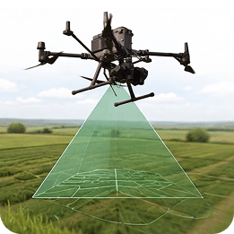
Image Capture
Drone or TerraScout Mapping
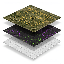
AI Processing
Stone Detection
Map Delivery
Next-Day Average Turnaround
What Farmers Say
Real Farms. Real Results.

“A 273-acre field would normally take six to seven hours with a tractor. Using the Rock Map, I was able to pick it in just an hour and a half with the side-by-side.”
Jordan S.
Saskatchewan, Canada

“Labor savings is huge. We took our crew of 9 people down to one person. And it took just one week instead of two weeks.”
Jacob E.
Minnesota, USA

“We’re getting more done in less time with more precision—I’d highly recommend this system to any grower.”
Rylan B.
Manitoba, Canada
Two Ways to Take Advantage of $4.25/Acre Pricing
*Price valid through 9/30/26.
Buy Your Map Now
Buy map acres directly, on your phone or online, and start scheduling flights today.


Talk to a Map Specialist
Prefer a hand? Submit the form and a TerraClear Map Specialist will confirm your acres and complete your purchase.
Buy at the Lowest Price of the Season
Submit this form and a TerraClear Mapping Specialist will reach out to confirm your acre count and get your purchase set up.