Save Up To $27 CAD per Acre
with a Rock Map
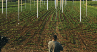
Find 3x More Stones & Be 3x More Productive
- Pinpoint Rock Locations in Your Fields
- Optimize Field Travel
- Prevent Expensive Equipment Damage
It’s Easy to Get Started
Sign Up for a TerraClear Account
Load Your Field Boundaries in the App
Submit Your Request for Mapping
How Rock Mapping Works
Here’s how TerraClear captures your field imagery, identifies every rock, and delivers a map you can put to work immediately.
Capture Full Field, High Res Imagery
At 5 mm GSD, an acre consists of 162 million little pixels-each about the size of pencil erasers.
AI Generates Detailed Rock Map
TerraClear’s novel AI system accurately identifies rock size and location.
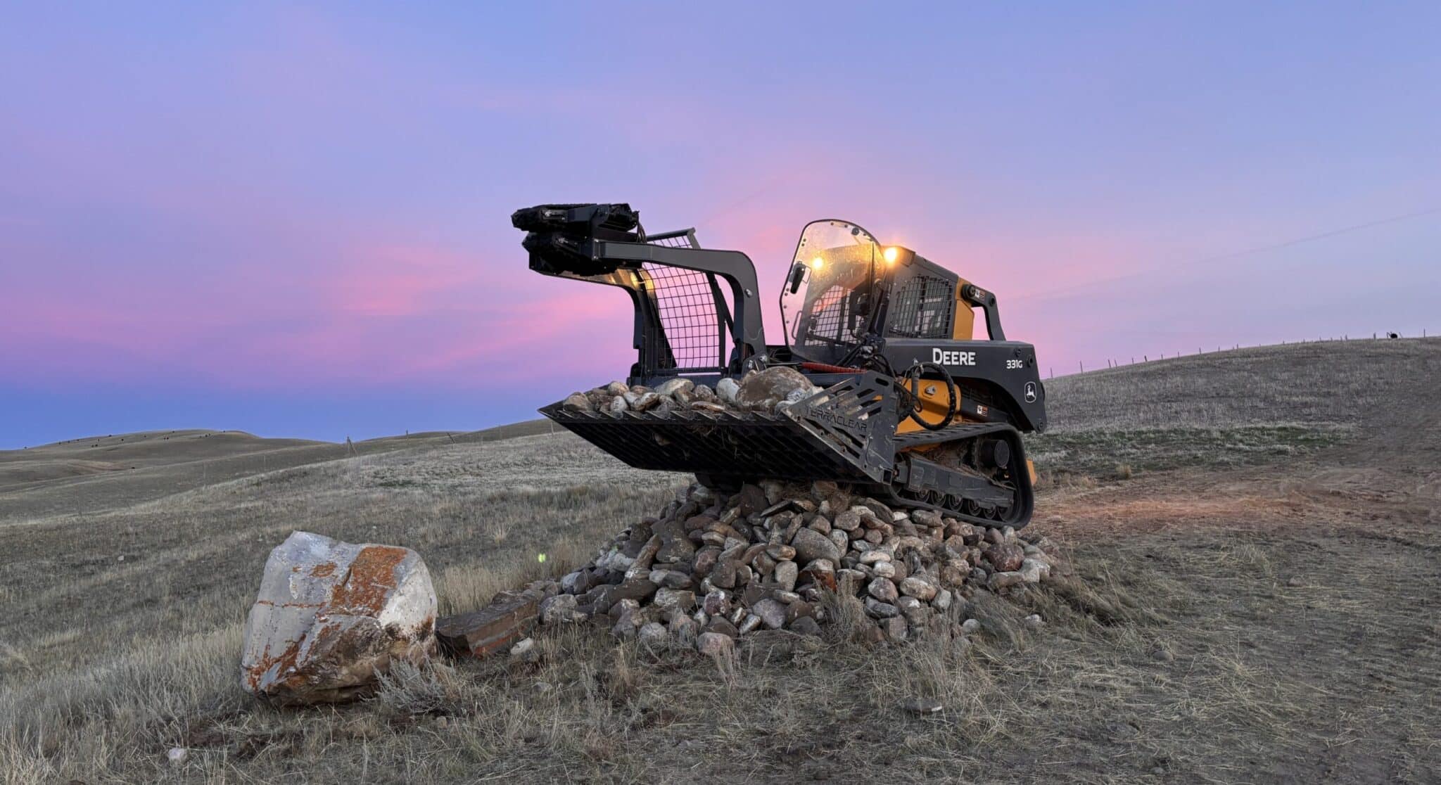
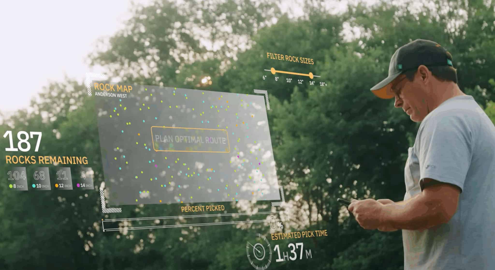
Find More Stones & Pick Faster with a Rock Map
Use the Rock Map to optimize your rock picking.


“Using the Rock Map, I was able to pick in just an hour and a half vs. over 7 hours.”
Jordan S. | Saskatchewan Farmer
Recognized Leader in Ag Innovation


Frequently Asked Questions
Answers to the most common questions about TerraClear’s Rock Maps.
You can expect a Rock Map 5-8 days from when you tell TerraClear your field is ready for mapping.
TerraClear maps visible rocks 19 cm and larger.
Whenever it works best for your farm.
TerraClear mapping works in all field conditions where rocks are visible from above.
Every acre has a story. Let’s map it.
Whether you’re ready to map a field or just curious about what’s next, we’ll help you find the right starting point with TerraClear.